
About the trail
York is built on a natural floodplain, where rivers have shaped the landscape, wildlife and communities for centuries. Flooding in York is not new - it is part of how the river system works.
Why the York rivers trail exists
Today, climate change is increasing the frequency and intensity of flooding. This means adapting how we live with water is more important than ever.
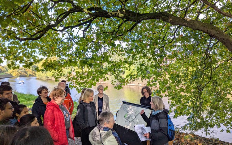
The York rivers trail helps make this visible and understandable. It explores how nature‑based solutions (working with natural processes to manage water) and more traditional flood approaches are helping York become more resilient.
The trail also reveals how York is connected to a much wider river network. Water that flows through the city begins its journey far upstream, across the Swale, Ure, Nidd and Ouse catchment, linking rural landscapes and urban communities.
The York rivers trail is delivered by City of York Council, with Ousewem as project originator, working with a wide network of local partners.